Destinations · Head-to-head
Barbados West Coast vs Viti Levu
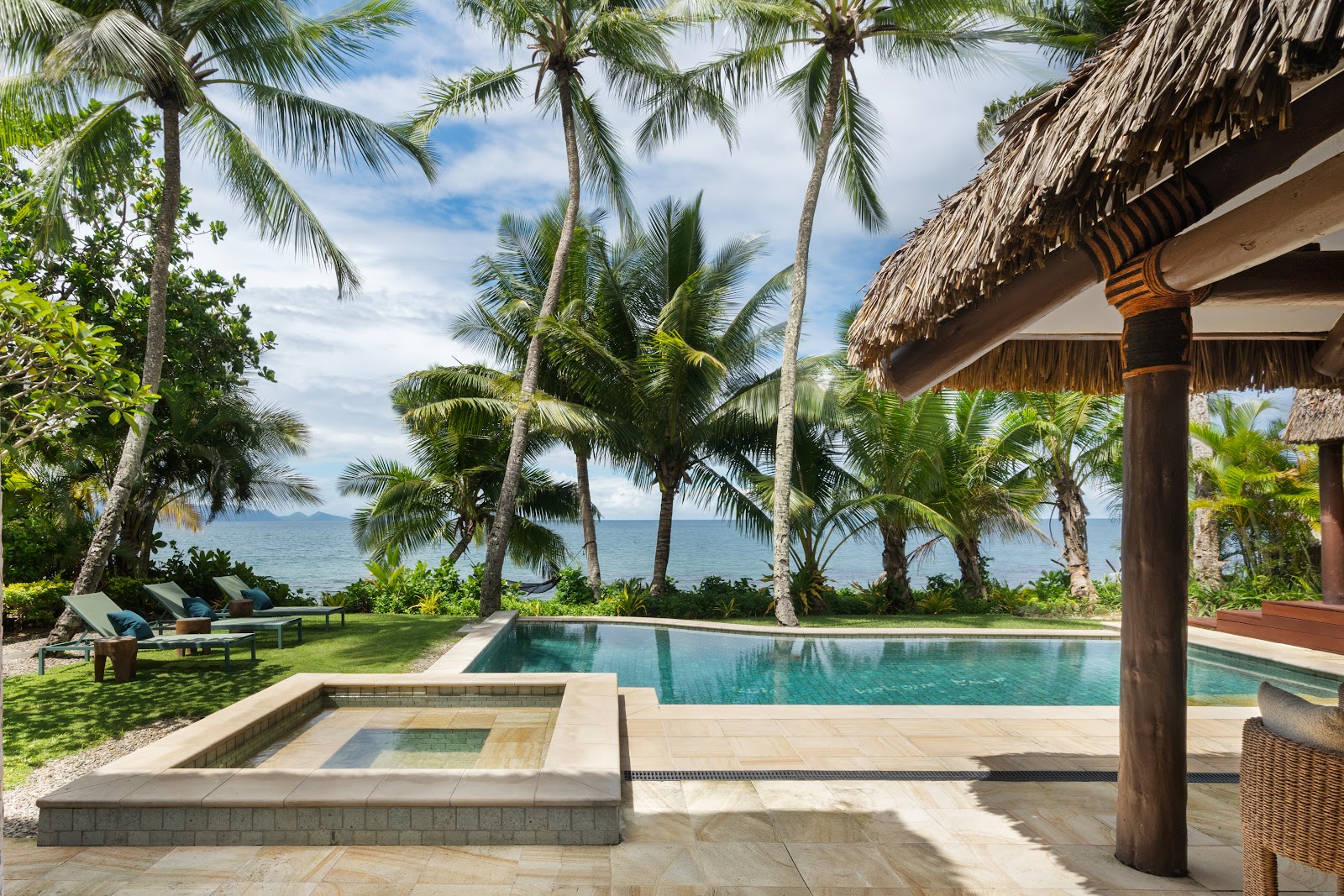
Barbados West Coast and Viti Levu, side by side: live travel advisories, our resort catalog's real guest data, and each destination's honest weather picture. Everything you need to break the tie.
By the numbers
| Barbados West Coast | Measure | Viti Levu |
|---|---|---|
| Level 1: Exercise Normal Precautions | U.S. travel advisory | – |
| 7 (better) | Resorts in our catalog | 6 |
| ★ 4.3 | Average guest rating | ★ 4.4 (better) |
| $152–$491/night pp | Nightly rates | $74–$509/night pp (better) |
| 3 of 7 | Adults-only resorts | 0 of 6 |
| Low hurricane risk (better) | Hurricane exposure | In the hurricane belt |
| June–November, typically short heavy showers | Rainy season | November–April, wettest January–March; the resort-lined west and south are the island's dry side |
| December–April | Sweet spot | May–October: dry, mid-80s, and aligned with northern-summer holidays |
| Bridgetown (BGI), 30–40 min up the coast road | Airport | Nadi (NAN); Denarau 20 min, Coral Coast 60–90 min by road |
| Couples, calm-water swimmers, quiet polish | Best for | Families, first Fiji trips, no-boat-transfer logistics |
| December–April dry; June–November wetter (low-edge hurricane belt) | Season | May–October dry; November–April wet/cyclone season |
Advisory levels sync from travel.state.gov; catalog figures reflect the resorts we've researched, not every hotel in the country. A marked row is one we are willing to call; rows without a mark are a matter of taste, or we have no comparable figure for both sides.
On the map
Barbados West Coast
Viti Levu
Weather, month by month
| Measure | Jan | Feb | Mar | Apr | May | Jun | Jul | Aug | Sep | Oct | Nov | Dec |
|---|---|---|---|---|---|---|---|---|---|---|---|---|
| Barbados West Coast · high °F | 83 | 83 | 84 | 86 | 87 | 87 | 87 | 88 | 88 | 87 | 86 | 84 |
| Viti Levu · high °F | 88 | 88 | 87 | 85 | 83 | 81 | 80 | 80 | 82 | 84 | 86 | 87 |
| Barbados West Coast · rain (in) | 2.6 | 1.6 | 1.3 | 1.4 | 2.3 | 4.4 | 5.8 | 5.8 | 6.7 | 7.0 | 6.1 | 3.8 |
| Viti Levu · rain (in) | 11.9 | 11.3 | 12.9 | 7.1 | 3.9 | 2.4 | 1.9 | 2.4 | 3.2 | 4.2 | 5.5 | 7.5 |
Approximate climate normals for Holetown (west coast) and Nadi / Denarau: planning guidance, not a forecast. A deeper tint is a higher number, read within its own row.
Where you'd actually stay
Best of Barbados West Coast
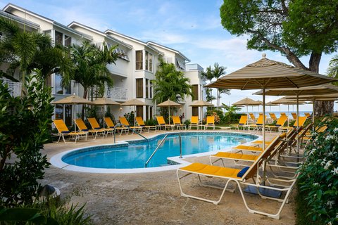 Treasure Beach Art Hotel, Barbados, An Autograph Collection All-Inclusive Resortnull · ★ 4.5
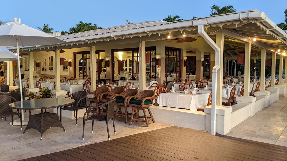 Mango Bay Hotelnull · ★ 4.4
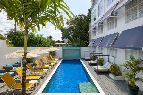 Waves Resort & Spa, Barbados, An Autograph Collection All-Inclusive Resortnull · ★ 4.4
Chains here: Autograph Collection · Mango Bay · Tribute Portfolio
Not these two?
Square up two other destinations
More destination head-to-heads
Jamaica vs Dominican RepublicJamaica vs ArubaMexico vs Dominican RepublicJamaica vs MexicoAruba vs Turks & CaicosAruba vs CuraçaoJamaica vs St. LuciaMaldives vs MauritiusGreece vs TurkeyMaldives vs French PolynesiaCancún vs Punta CanaCancún vs Riviera MayaPunta Cana vs Riviera MayaMontego Bay vs NegrilLos Cabos vs Puerto VallartaBarbados West Coast vs Barbados South CoastMaldives vs SeychellesSeychelles vs MauritiusSri Lanka vs MaldivesBahamas vs Turks & CaicosChile vs Argentina