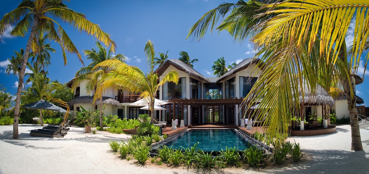
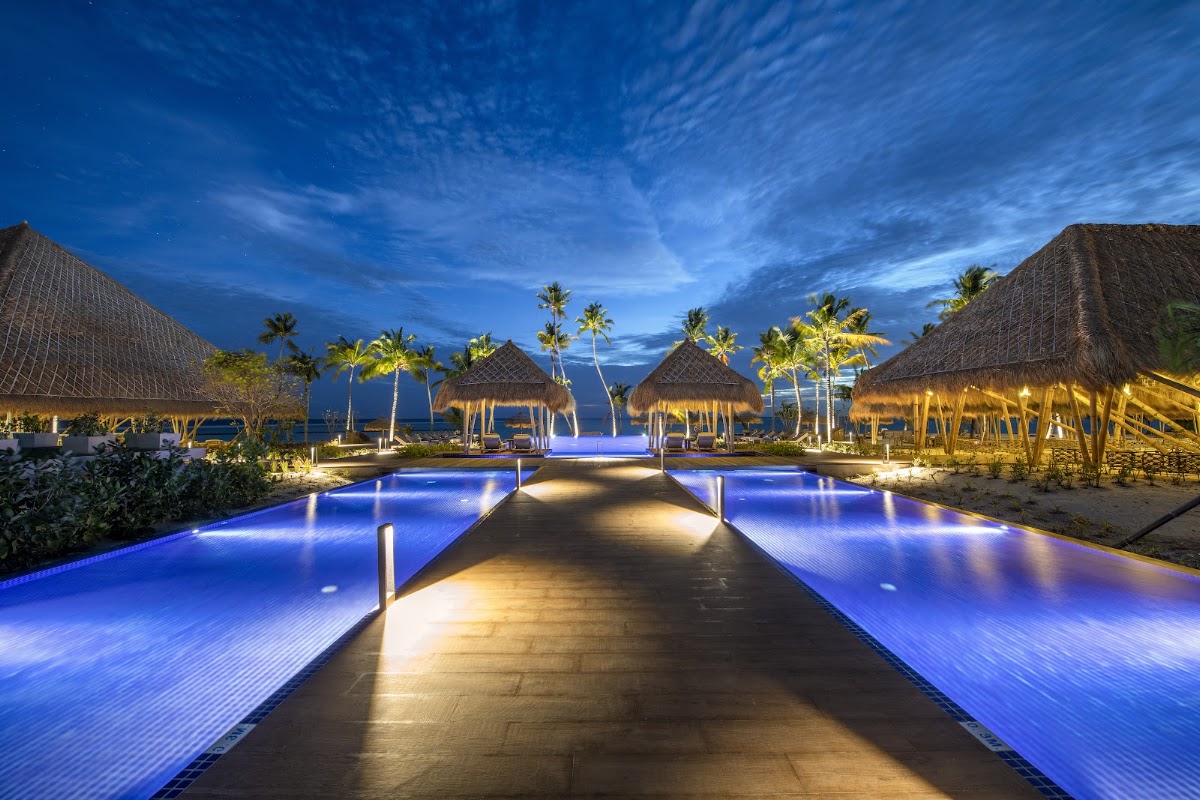
Barbados West Coast vs Maldives Outer Atolls
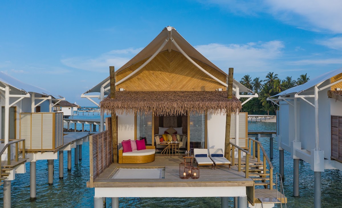
Barbados West Coast and Maldives Outer Atolls, side by side: live travel advisories, our resort catalog's real guest data, and each destination's honest weather picture. Everything you need to break the tie.
By the numbers
| Barbados West Coast | Measure | Maldives Outer Atolls |
|---|---|---|
| Level 1: Exercise Normal Precautions (better) | U.S. travel advisory | Level 2: Exercise Increased Caution |
| 7 | Resorts in our catalog | 23 (better) |
| ★ 4.3 | Average guest rating | ★ 4.8 (better) |
| $212–$708/night pp | Nightly rates | $101–$3121/night pp (better) |
| 3 of 7 | Adults-only resorts | 2 of 23 |
| Low hurricane risk | Hurricane exposure | No hurricane season (better) |
| June–November, typically short heavy showers | Rainy season | May–November (southwest monsoon), wettest September–November, and the manta season |
| December–April | Sweet spot | January–March |
| Couples, calm-water swimmers, quiet polish | Best for | House reefs, manta and whale-shark seasons, true seclusion, second visits |
| December–April dry; June–November wetter (low-edge hurricane belt) | Season | January–March driest; May–November is the wetter monsoon and the manta season |
Advisory levels sync from travel.state.gov; catalog figures reflect the resorts we've researched, not every hotel in the country. A marked row is one we are willing to call; rows without a mark are a matter of taste, or we have no comparable figure for both sides.
On the map
Weather, month by month
| Measure | Jan | Feb | Mar | Apr | May | Jun | Jul | Aug | Sep | Oct | Nov | Dec |
|---|---|---|---|---|---|---|---|---|---|---|---|---|
| Barbados West Coast · high °F | 83 | 83 | 84 | 86 | 87 | 87 | 87 | 88 | 88 | 87 | 86 | 84 |
| Maldives Outer Atolls · high °F | 86 | 87 | 88 | 88 | 87 | 86 | 86 | 86 | 86 | 86 | 86 | 86 |
| Barbados West Coast · rain (in) | 2.6 | 1.6 | 1.3 | 1.4 | 2.3 | 4.4 | 5.8 | 5.8 | 6.7 | 7.0 | 6.1 | 3.8 |
| Maldives Outer Atolls · rain (in) | 4.5 | 2.0 | 2.9 | 5.2 | 8.5 | 6.5 | 5.8 | 6.9 | 9.6 | 8.7 | 9.1 | 9.0 |
Approximate climate normals for Holetown (west coast) and Malé (the atolls share one climate; the far south is less seasonal): planning guidance, not a forecast. A deeper tint is a higher number, read within its own row.
Where you'd actually stay
Best of Barbados West Coast
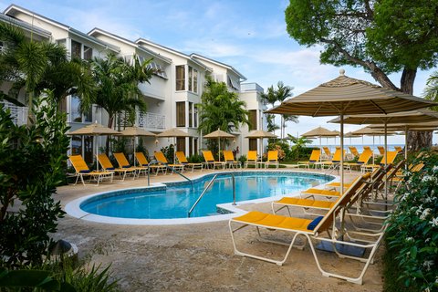 Treasure Beach Art Hotel, Barbados, An Autograph Collection All-Inclusive Resortnull · ★ 4.5
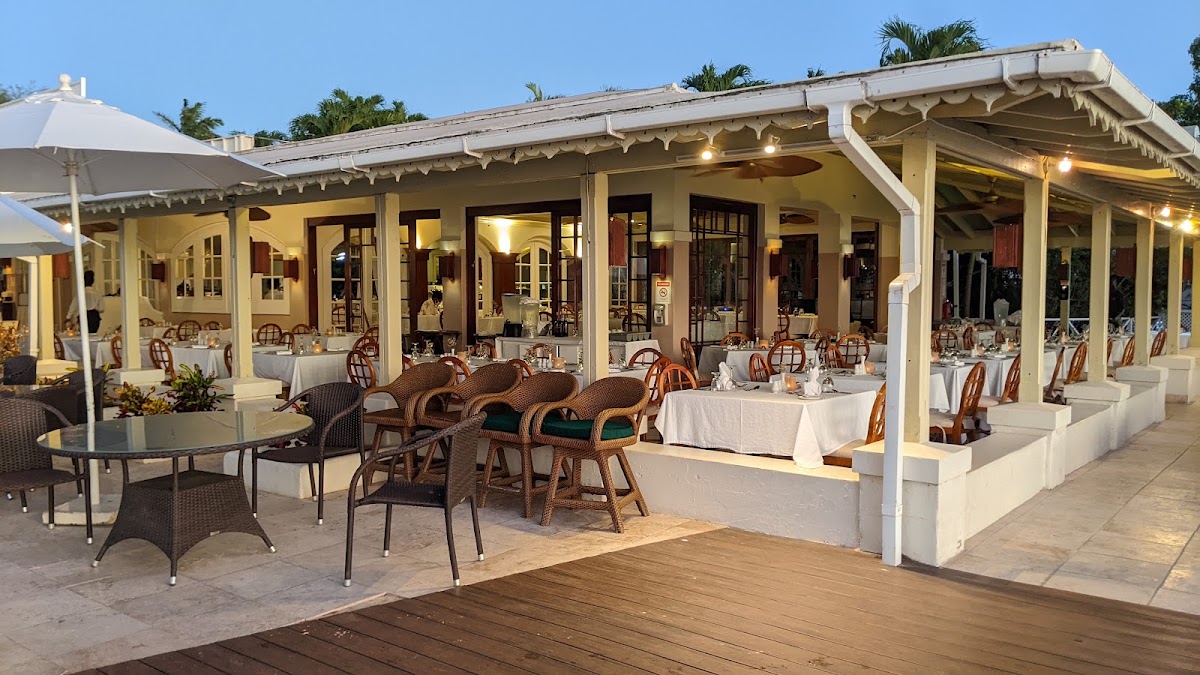 Mango Bay Hotelnull · ★ 4.4
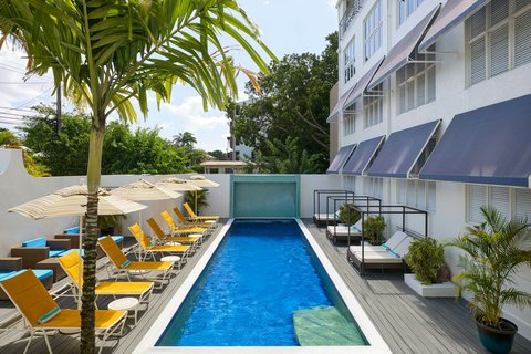 Waves Resort & Spa, Barbados, An Autograph Collection All-Inclusive Resortnull · ★ 4.4
Chains here: Autograph Collection · Mango Bay · Tribute Portfolio